


FSX: Steam Edition - VFR Poland Region SW Add-On
479.00
The VFR Poland SW photo scenery for FSX: Steam Edition covers the southwestern region of Poland. The product is based on SPOT5 multispectral satellite images geometrically and radiometrically corrected to create a seamless mosaic. The scenery reproduces the real ground surface characteristics using 2. อ่านเพิ่ม
รายละเอียด
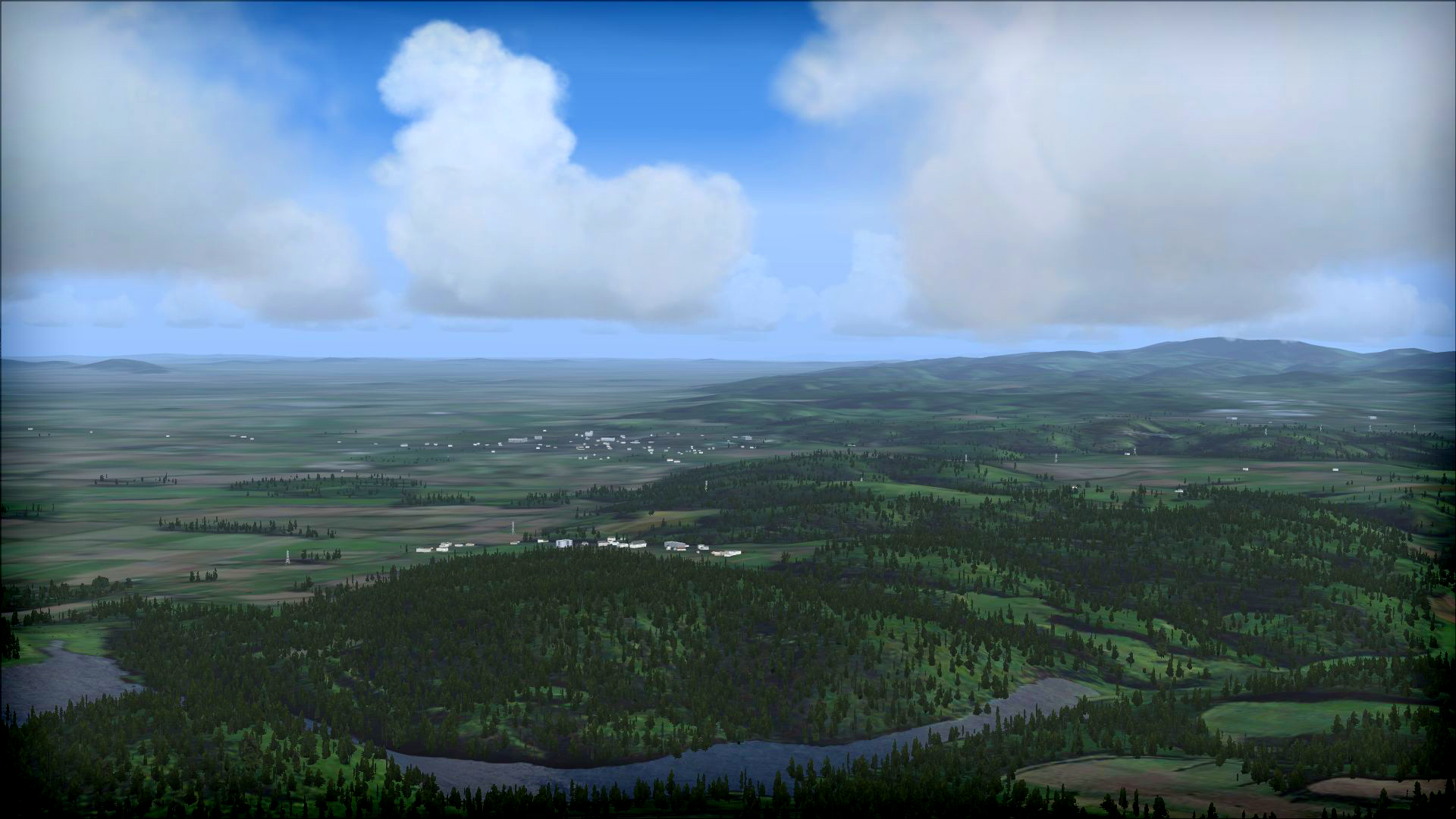
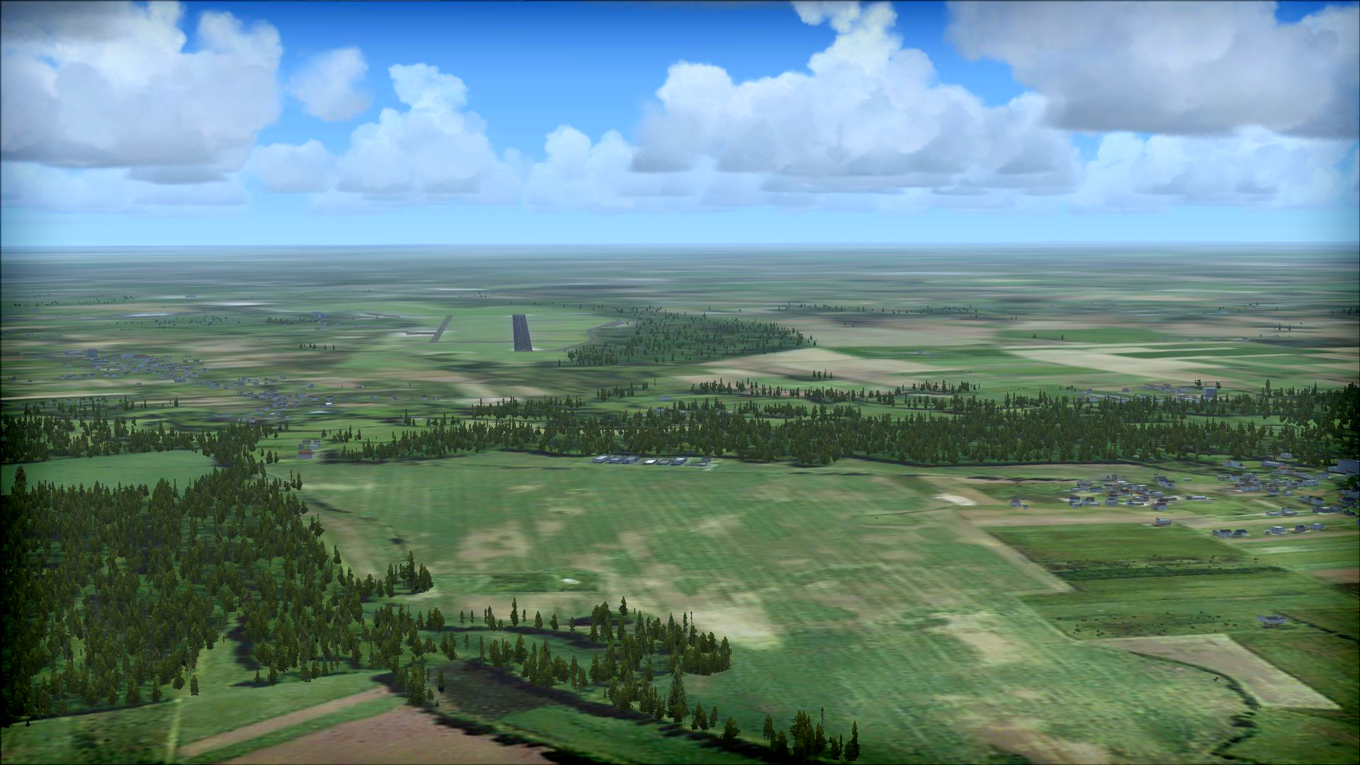
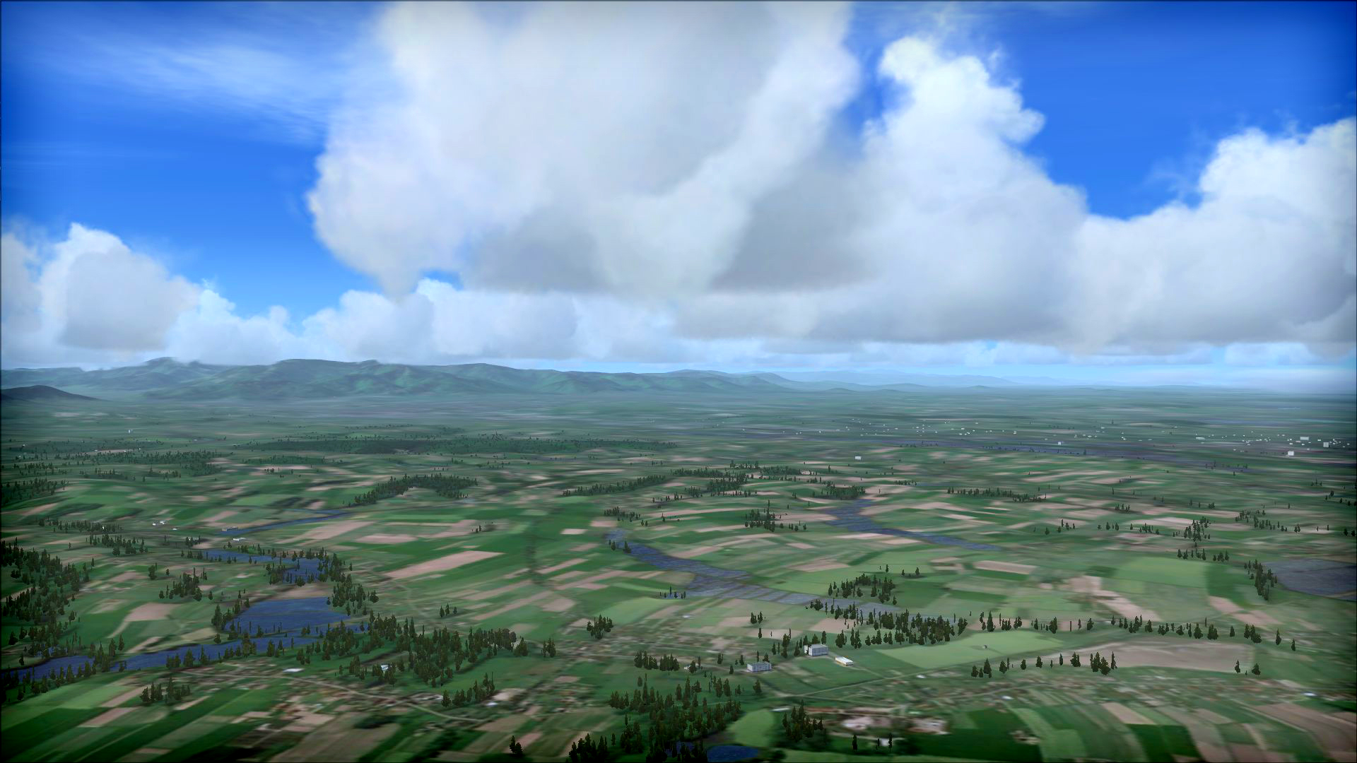
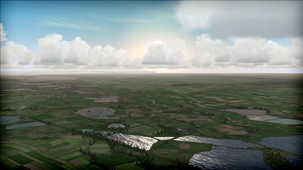
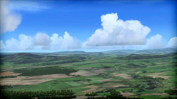
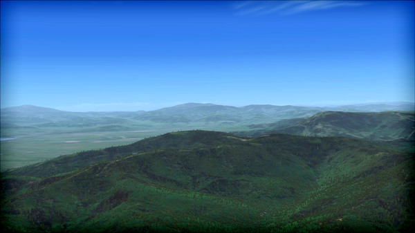
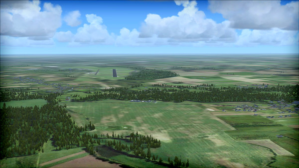
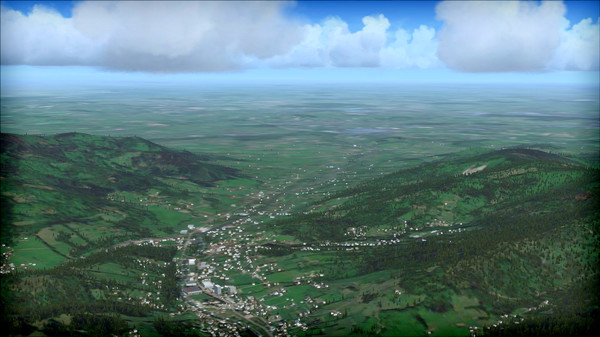
The VFR Poland SW photo scenery for FSX: Steam Edition covers the southwestern region of Poland. The product is based on SPOT5 multispectral satellite images geometrically and radiometrically corrected to create a seamless mosaic. The scenery reproduces the real ground surface characteristics using 2.5 m/px resolution ground textures, a hydrological layer and autogen.
The Republic of Poland is located in Central Europe, lying between E014°07' and E024°08', and N49°00' and N54°50'. It has a latitudinal distance of 649 km and a longitudinal distance of 689 km. Poland borders Germany, the Czech Republic and Slovakia in the south, Ukraine and Belarus in the east, Lithuania in the north-east and the Kaliningrad Oblast of Russia in the north. Most of the northern border consists of the coast of the Baltic Sea.
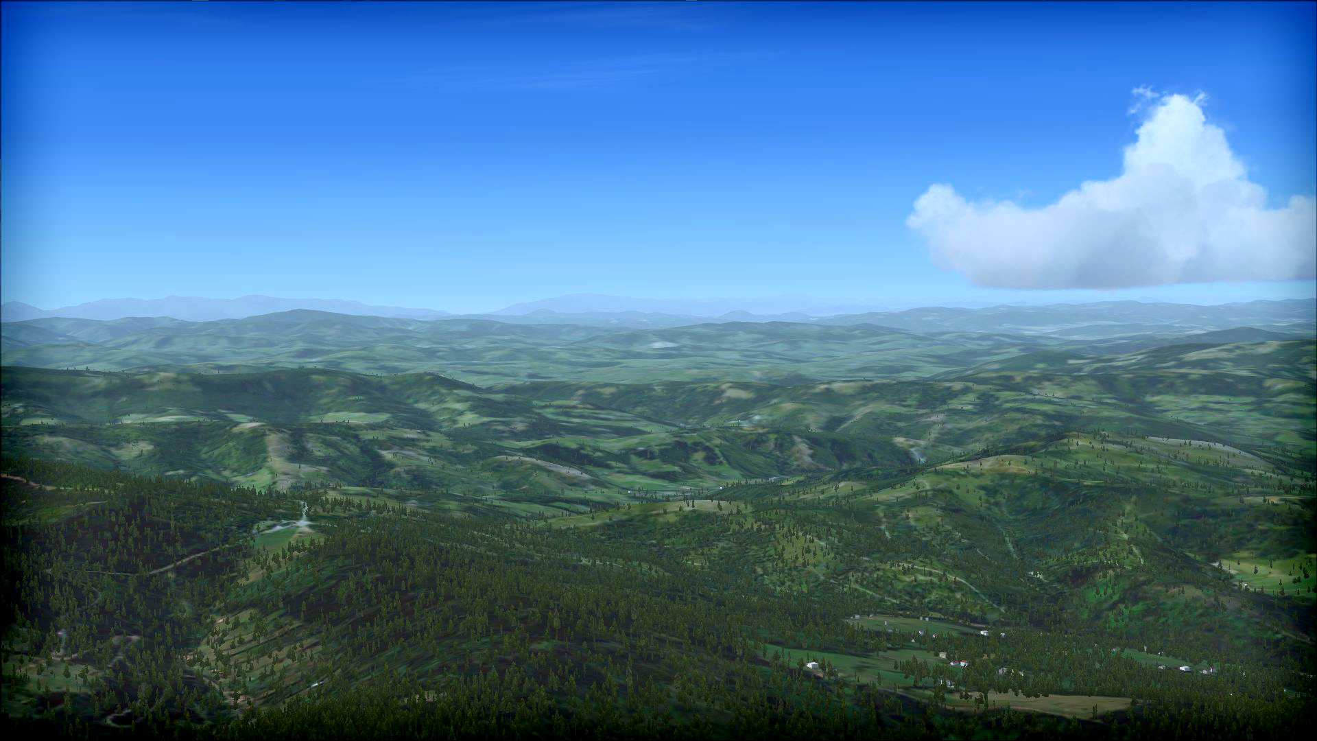
The scenery covers lowland areas lying within the North European Plain, as well as upland areas lying within the Bohemian Massif, the Polish Uplands and the Western Carpathians. The region's highest peak is the Śnieżka mountain located in the Sudetes, measuring 1603 m above sea level (5256 ft). The natural vegetation in the region consists of temperate deciduous and mixed forests. Moreover, mountain vegetation can be found in mountainous areas.
The area is located within the Baltic watershed. The longest rivers in the scenery area are the Oder (854 km, including 742 km in Poland) and the Warta (808 km). The scenery area's most important cities are Wrocław, Katowice, Częstochowa, Sosnowiec, Gliwice, Bytom, Bielsko-Biała, Zabrze, Ruda Śląska, Rybnik, Tychy, Dąbrowa Górnicza, Opole, Wałbrzych, Zielona Góra, Chorzów, Kalisz and Legnica.
Features:
- 2.5 m/px ground resolution
- Real satellite photos
- Total area of about 80000 sq km
- Single season - summer textures
- Hydrological layer
- Autogen
ความต้องการระบบ
- OS: Windows® XP Service Pack 2 or later
- Processor: 2.0 Ghz or higher (single core)
- Memory: 2 GB RAM
- Graphics: DirectX®9 compliant video card or greater, 256 MB video RAM or higher, Shader Model 1.1 or higher (Laptop versions of these chipsets may work but are not supported. Updates to your video and sound card drivers may be required)
- DirectX: Version 9.0
- Network: Broadband Internet connection
- Sound Card: Direct X 9.0c compatible
- Additional Notes: Broadband internet connection required for multiplayer features
รีวิวสินค้า
